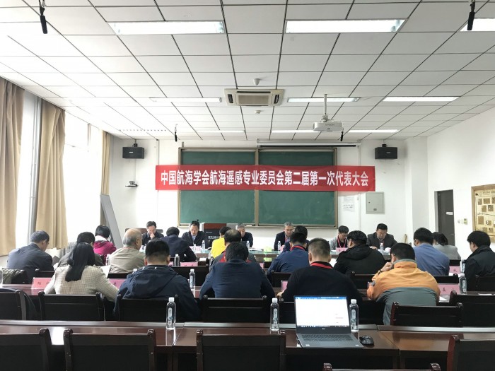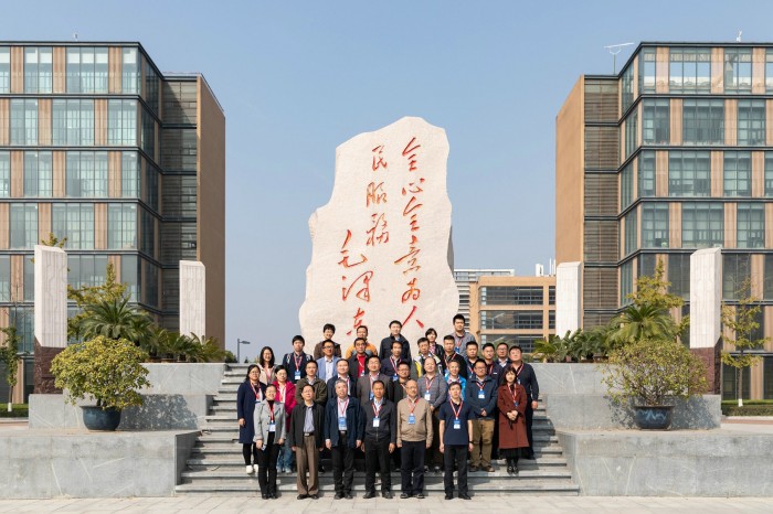
On October 18, 2018, the 1st Session of the Second and the 5th Academic Conference of the Maritime Remote Sensing Committee of CIN ( hereinafter referred to as “the Committee”) were held in Xidian University. Gu Weiguo, Deputy Secretary General of CIN attended the conference, including Luo Lun, Deputy President of Business Unit of China Transportation Communication Information Center Space Information affiliated to the Committee Secretariat, and representatives from the fields of ocean, transport, aerospace, universities and scientific research institutes. Besides, Luo Lun chaired the conference.
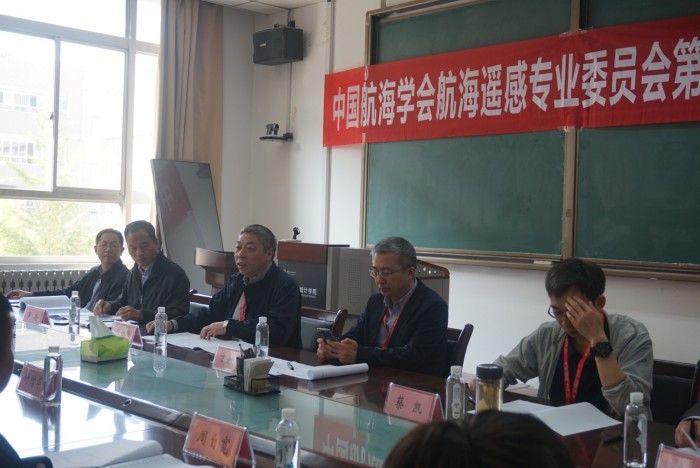
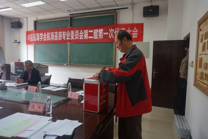
In the conference, guests adopted the work report made by Shang Jiang on behalf of the 1st Committee, and elected the committee members and leaders. With the purpose to further “apply remote sensing in maritime”, the 2nd Committee expanded on the basis of the 1st by incorporating the expert ratios in maritime security, maritime emergency disposal, waterway development, polar research and others in transport marine industry. There are total 30 members in the Second Committee. Luo Lun, Deputy President of China Transportation Communication Information Center was appointed as the Chairman of Committee and Cai Kai, Director of Beijing Remote Sensing Information Research Institute, Liu Jianqiang, Deputy Director of National Satellite Marine Application Center, Li Ming, Deputy Dean of Aerospace Science and Technology Group 5th Research Institute, Ding Chibia, Deputy Director of Institute of Electrics of the Chinese Academy of Sciences, Wang Laipeng, Deputy Consultant of Shandong MSA, Liu Dongquan, Senior Engineer of Beihai Maritime Security Center, Li Yin, Professor of Dalian Maritime University, Wang Chen, Deputy dean of Xiamen University and other leading experts were appointed as Deputy Chairmen respectively. At the same time, the work plan of 2nd Committee was discussed in the committee.
At the conference, Gu Weiguo fully affirmed the achievements of the 1st Committee. On behalf of CIN, he extended congratulations to the newly elected chairman, deputy chairmen as well as members, and put forward expectations and suggestions for future.
In the afternoon, the 5th Academic Conference & Traffic Remote Sensing Technology Application Sub-forum of the 5th China High Resolution Earth Observation Conference were convened with the theme of “ high resolution and navigation protection.” Combining the actual work and research achievements, the participating experts have made special reports and discussions on the topics of spatial information demand of the transport power country, the summer navigation research of the Arctic waterway, the maritime and meteorological environmental security service system and its application, the related application research of the underwater P-band radar satellite, the port management and shoreline monitoring of the Yangtze River main line, research report in navigation status in the South China Sea of 2017 and the application of remote sensing technology in maritime surveying and mapping.
Under the new situation, the Committee unanimously agreed to continue its further construction, to give full play to the role of connecting, to strive to create a high-end academic exchange platform, and to speed up the application and sustainable development of remote sensing technology in the transportation industry. (By: Department of Training and Education, Xu Jing)